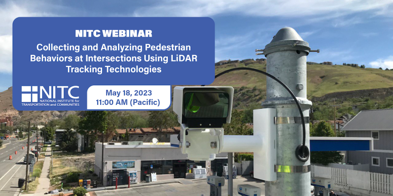
PRESENTATION ARCHIVE
- Miss the presentation or want a look back at the slides? You can view them here.
- Watch the recorded video
Small towns and cities outside of national parks and other major natural amenities throughout the western United States are becoming increasingly popular places to visit and live. As a result, many of these gateway and natural amenity region (GNAR) communities—including places such as Jackson, Wyoming, and Moab, Utah—are facing a variety of “big city” issues, such as severe congestion, lack of affordable workforce housing, and concerns about sprawl and density. This webinar will introduce the planning and transportation concerns being experienced by GNAR communities throughout the west. It will then share the tools and resources developed by the University of Utah to train planners to work in these unique communities and to help these communities enhance livability and sustainable transportation options. The webinar will also introduce the University of Utah’s new Gateway and Natural Amenity Region Initiative and ongoing research aimed at better understanding and addressing the planning and transportation issues in GNAR communities.
... Read more