The video begins at 0:47.

View handout

Abstract: Using the Seattle Bicycle Master Plan as a model, this presentation will provide a roadmap for developing and implementing bicycle master plans.

Toole Design Group (TDG) served as the prime consultant for the City of Seattle Bicycle Master Plan. In partnership with the City, TDG took a diverse approach to public involvement, including working with a Citizen’s Advisory Committee and local advocacy groups, conducting an online survey, and conduction highly successful public input meetings that were attended by hundreds of people. The project involved extensive GIS and field analysis, and the development of specific recommendations for street reconfigurations and wayfinding signs for a 450-mile network of on and off-street facilities. The project included design innovations such as shared-lane markings, up-hill bike lanes, buffered bike lanes, and new warning and wayfinding signs. It also included new thinking on right-of-way assignment and the design of trail street crossings. In addition, TDG developed bicycle facility design guidelines recommendations for education and enforcement programs to support and encourage bicycling, and policies for integrating bicycle considerations into all City projects and programs. The Plan focused heavily on implementation and included...

Read more

View presentation slides

View example slides

The LCN+ Project Management team are responsible for improving conditions for cycling on a 900-kilometre network of London’s key commuter roads, in line with the Mayor of London’s Cycling Action Plan.

With the initial target of achieving a 200% increase in the number of cyclists in London already surpassed, the project aims to build on this by continuing to advise the 33 London boroughs on how to improve cycling infrastructure on their roads. By effectively liasing with major stakeholders such as local cycling groups, Borough Cycling Officers and Transport for London, the project can ensure that all will have agreed on the solutions reached.

Steve Cardno: Steve is the Project Manager for the London Cycle Network Plus (LCN+) project, with responsibility for the overall project management of this London wide cycling project. The LCN+ project aims to deliver 900km of high quality strategic cycle routes across London by the end of 2009/10. The project is funded by Transport for London (TfL), project managed by Camden Consultancy Services and delivered in partnership with TfL, CCS, the 33 London Boroughs and cycle user...

Read more

Strong and Fearless | Enthused and Confident | Interested but Concerned | No Way No How

PRESENTATION ARCHIVE

Originally developed by Roger Geller for the city of Portland, the “Four Types of Cyclists” typology (Strong and Fearless; Enthused and Confident; Interested but Concerned; No Way No How) has been adopted widely to help guide efforts to increase bicycling for transportation. This webinar will present findings from a new, national survey conducted in collaboration with the National Association of Realtors.  In Portland, 60 % of the population falls into the "interested but concerned" category, and they represent a promising segment of the population in terms of increasing the bicycle mode share. In this webinar, we will address the following questions:

  • Does the Four Types of Cyclists typology apply nationally? 
  • What are the characteristics of each type of cyclist? 
  • How does the existing environment, including bicycle infrastructure, affect the share of people in each category/type? 
  • What programs or infrastructure might...
Read more

Friday Transportation Seminars at Portland State University have been a tradition since 2000. We've opened up PSU Transportation Seminars to other days of the week, but the format is the same: Feel free to bring your lunch! If you can't join us in person, you can always watch online via Zoom.

    PRESENTATION ARCHIVE

    Read more

    Watch video

    View slides

    Summary: In this seminar, Tara Weidner will discuss changes in the works to the State Analysis Procedures Manual (APM) to include three graduated levels of bike planning methods for use in Oregon communities, based on community size, data needs, and planning stage.  These include the Bike Level of Traffic Stress (BLTS), a sketch tool used to assess bike network connectivity, the data-heavy Highway Capacity Manual Multi-modal Level of Service (MMLOS) procedures, and a simplified MMLOS developed by the same researchers. 

    Bio: Tara Weidner is an Integrated Transportation Analysis Engineer in ODOT’s Transportation Planning Analysis Unit (TPAU).  She has over 20 years of experience in modeling and analysis of multi-modal transportation systems. Her work focuses on arming Oregon’s communities with tools to plan for the future, including being the lead on ODOT’s GreenSTEP Greenhouse Gas model and coordinating other multi-modal transportation and land use tools and analysis. She joined TPAU about a year ago after working as a Senior Planner for Parsons Brinkerhoff (PB), where she was the consultant lead for the ODOT StateWide Integrated Model (SWIM) and worked with the FHWA on Mega-Regions modeling tools and managed a webinar series on "Climate Change Planning for MPOs.

    The video starts at 0:58.

    View slides

    Abstract: Walking and bicycling are being promoted as transportation options that can increase the livability and sustainability of communities, but the automobile remains the dominant mode of transportation in all United States metropolitan regions. In order to change travel behavior, researchers and practitioners need a greater understanding of the mode choice decision process, especially for walking and bicycling.

    This presentation will summarize dissertation research on factors associated with walking and bicycling for routine travel purposes, such as shopping. More than 1,000 retail pharmacy store customers were surveyed in 20 San Francisco Bay Area shopping districts in fall 2009, and 26 follow-up interviews were conducted in spring and summer 2010. Mixed logit models showed that walking was associated with shorter travel distances, higher population densities, more street tree canopy coverage, and greater enjoyment of walking. Bicycling was associated with shorter travel distances, more bicycle facilities, more bicycle parking, and greater enjoyment of bicycling. Respondents were more likely to drive when they perceived a high risk of crime, but automobile use was discouraged by higher employment densities, smaller parking lots,...

    Read more

    Watch video

    View slides

    As cities move to increase levels of bicycling for transportation, many practitioners and advocates have promoted the use of protected bike lanes (also known as “cycle tracks” or “protected bikeways”) as an important component in providing high-quality urban infrastructure for cyclists. These on-street lanes provide more space and physical separation between the bike lane and motor vehicle lane compared with traditional striped bike lanes. However, few U.S. cities have direct experiences with their design and operations, in part because of the limited design guidance provided in the past. There is limited research from North America on protected bike lanes, but preliminary evidence suggests that they can both improve the level of comfort of cyclists and potentially increase the number of people cycling. This research evaluates protected bike lanes in five distinct contexts varying in population, driving and cycling rates and cultures, and weather: Austin, Texas; Chicago, Illinois; Portland, Oregon; San Francisco, California; and, Washington, District of Columbia. 

    These five cities participated in the inaugural “Green Lane Project” (GLP) sponsored by...

    Read more

    PRESENTATION ARCHIVE

    OVERVIEW

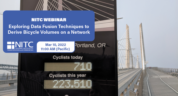
    Planners and decision makers have increasingly voiced a need for network-wide estimates of bicycling activity. Such volume estimates have for decades informed motorized planning and analysis but have only recently become feasible for non-motorized travel modes.

    Recently, new sources of bicycling activity data have emerged such as Strava, Streetlight, and GPS-enabled bike share systems. These emerging data sources have potential advantages as a complement to traditional count data, and have even been proposed as replacements for such data, since they are collected continuously and for larger portions of local bicycle networks. However, the representativeness of these new data sources has been questioned, and their suitability for producing bicycle volume estimates has yet to...

    Read more

    Pages